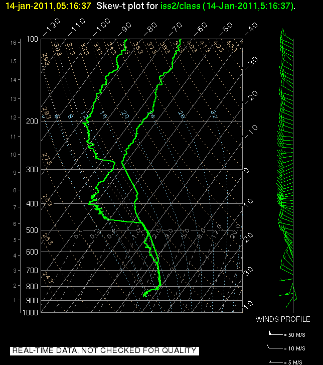
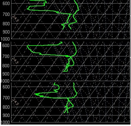
An interesting feature of the end of IOP6 was the resurgence of an extremely shallow surface temperature inversion Sunday night into Monday morning as seen in the 1200 UTC Salt Lake City sounding: 

We did not expect a surface inversion like the one observed after a night of rain and clouds. What was the source of the low-level inversion? A strong possibility is Utah Valley. Mesowest observations and visual inspection has indicated that the inversion in Utah Valley has remained stronger and deeper over the past 24 hours than in the Salt Lake Valley. For instance, let us compare the temperature evolution at KSLC and at Lehi:


We can see that the surface temperatures in the Lehi area have averaged around 10 degrees F cooler than at Salt Lake City over the past 12 hours, although the inversion has been weakening at both sites on Monday. Observations near the point of the mountain also indicate that there was a southerly drainage flow coming out of the Utah Valley into the Salt Lake Valley overnight. We often stress the importance of cold air from the Great Salt Lake "recharging" the low-level temperature inversion in the Salt Lake Valley but give lesser importance to the Utah Valley as a source of cold air. A photo taken by John Horel looking into the Utah valley early Monday afternoon indicated that the CAP was still in place in the Utah Valley while the SL Valley had "cleared up." Future analysis of this and other IOPs will need to attempt to quantify the importance of basin-to-basin exchange in the evolution of persistent cold air pools and why the Utah Valley was so much colder than the Salt Lake Valley in this particular situation.